AmericaView
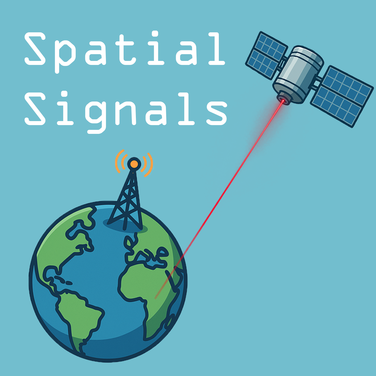
Spatial Signals
Spatial Signals is a podcast about remote sensing, GIS, and geospatial technologies - but more importantly it’s a podcast about the people who use and apply them. This podcast is sponsored by AmericaView, the national remote sensing network dedicated to empowering Earth Observation. Your hosts are Dr. Bradley Shellito from Youngstown State University and Mr. Chris McGinty, the Executive Director of AmericaView. New episodes every Monday morning.
Husk at besøge podcastens hjemmeside og støtte skaberen: americaview.podbean.com
Forfatter
AmericaView
Kategori
Podcastens hjemmeside
Seneste episode
19. okt. 2026
Hvor kan du lytte?
Podcasts i appen Replaio Radio Kommer snartPodcasts kommer snart til appen. Installer nu, og vær den første til at se en helt ny tilgang til podcasts
 Installer gratis
Android næsten 10 mio. downloads · 4,8 i bedømmelse
iOS snart
Episoder
Every Pixel Has A Story with Peder Nelson 19.10.2026 44:09
Peder Nelson from Oregon State University joins us to talk about his father's time working at EROS in Sioux Falls, Landsat as Peder’s other sibling, simulating with cameras what digital Landsat images would be like, being part of a tech migrant family, graffiti from space, the development of digital sensors, stewarding data to make it useful, planning for the future of remote sensing, people’s fir...
The Drone Rangers with Tracy Shane 12.10.2026 41:49
Tracy Shane from the University of Nevada-Reno joins us to talk about her backpacking trips with her grandmother as a kid, learning to read topo maps at age seven, the Nevada Youth Range Camp, Tracy’s time as a Student Conservation Employment Program (SCEP) student, the Society for Range Management, the Drone Rangers, a drone named Betty White, working with drones in outreach and a 4-H program, ra...
The Whole World Was Flat with Yuting Zhou 05.10.2026 34:49
Yuting Zhou from Oklahoma State University joins us to talk about a long trip where flat land turned into mountains, tools for understanding landscape changes, studying ecology and agriculture applications, Yuting’s journey from China to Oklahoma, OklahomaView and the national network of AmericaView, the climate and agriculture of Oklahoma, studying agriculture at different scales, UAS filling the...
Married Into Remote Sensing with Jan Eitel 28.09.2026 38:20
Jan Eitel from the University of Idaho joins us to talk about going from plot scale to landscape scale, the McCall Outdoor Science School, introducing K-12 students to lidar measurements, STELLA, teaching outdoors and winter research, IdahoView, engaging students in data collection, point dendrometers, a Tree EKG, NISAR imagery and analyzing plant water status, data fusion, AI and extracting meani...
From The Family Business with Paige Williams 21.09.2026 35:53
Paige Williams from Virginia Commonwealth University joins us to talk about traveling to the Esri conference in San Diego with her mom while in high school, being inspired by Will.i.am, working in software distribution, maxing out on GIS classes, collecting data and mapping as part of a water study team in Burkina Fasa, flying drones in research at NASA Goddard, forestry analysis at spatial and te...
The iPhonification of Data Storage with John Millard 14.09.2026 48:47
John Millard from Miami University joins us to talk about the career of Keanu Reeves, becoming a librarian from a business program, technology based jobs for librarians, Dad Lore, Mosaic, building your own digital library of information, a collaboration that would become OhioView, licensing of Landsat data, the cost of data storage, OhioLink and the process of satellite imagery transfer, technolog...
The Thing That Happened Was Landsat with Mary O'Neill 07.09.2026 41:39
Mary O’Neill from South Dakota State University joins us to talk about a work study job in the plant science department, the Remote Sensing Institute (RSI) at SDSU, remote sensing from a retrofitted WW2 aircraft, SADE (Signal Analysis and Dissemination Equipment), watching the first scenes from ERTS / Landsat 1 come off the printer, Mary’s participation at the start of AmericaView and her time wit...
That Data Layer Sandwich with Mike Taylor 31.08.2026 36:23
Mike Taylor from NASA’s Landsat Project Science Support Team joins us to talk about job fields merging computers and the outdoors, a life-changing 14-day geography field study course, the work of the Landsat Science Team, continuity of Landsat imagery, levels of imagery resolution, the development of STELLA, applications of STELLA in relation to satellite imagery, approachable and affordable STELL...
Payment For Ecosystem Services with Mary Schorse 24.08.2026 37:06
Mary Schorse from the University of Delaware joins us to talk about her background in education and how it connects with geospatial technologies, the expansion of geospatial technologies into a multitude of fields, the Delaware Center for Geographic Education (DCGE), inserting GIS and remote sensing into K-12 lessons, Mary’s collaborations with Tracy DeLiberty, Mary’s work with environmental impac...
Map Layouts and Band Combinations with Parinaz Rahimzadeh 17.08.2026 37:06
Parinaz Rahimzadeh from the University of Maine joins us to talk about finding GIS and remote sensing on her first day of university, creating map layouts and band combinations, Parinaz earning her doctorate in Japan, and the birth of MaineView, forest health, detecting the severity of pathogen-induced damage on the landscape, forest susceptibility, applied research with GIS and remote sensing, pe...
Teaching GIS - The Squared Circle, Round Five 10.08.2026 58:44
This is Round Five of our special “Squared Circle” episodes, where a group of guests gets together to wrestle with a particular topic. For this episode, we're joined by Ms. Robbyn Abbitt from Miami University, Dr. Forrest Bowlick from University of Massachusetts Amherst, and Dr. Courtney Poirier Chicola from the University of Louisiana at Lafayette, and we’re discussing all things about teaching G...
Breaking The Law of Gravity with Jason Lorenzon 03.08.2026 41:29
Jason Lorenzon from Kent State University joins us to talk about his wanting to be a pilot from an early age, sneaking to the Windsor airport to get a private pilot license, Jason's training as a concert pianist, teaching aviation law, leading the UAS program at Kent State, training both manned and unmanned aircraft pilots, the NTSB and the definition of an aircraft, the 100th anniversary of the A...
Russ and Kass' Excellent Adventure with Russ Congalton and Kass Green 27.07.2026 39:19
Russ Congalton from the University of New Hampshire and Kass Green from Kass Green and Associates return to talk about how they briefly met a first time, a second meeting at the first national GIS conference, Russ’ heading up the next GIS conference in San Francisco, Russ working with Kass on mapping old growth forest with Landsat imagery, the partnership of practical ideas and new technologies, t...
The Author Is Always The Last One To Know with Aaron Maxwell 20.07.2026 42:50
Aaron Maxwell from West Virginia University returns to talk about his first book in supervised learning being publishing, where the book’s concept came from, Aaron’s co-authors, the whole writing process behind the book, designing figures and graphs, visual design, how Aaron learned about the book’s release, the storytelling of science, the supervised learning process being more spatial, advice fo...
No Escape From Geology with Umesh Haritashya 13.07.2026 42:18
Umesh Haritashya from the University of Dayton joins us to talk about trying to major in zoology and ending up in geology instead, then trying to get into petroleum and ending up in remote sensing instead, ASTER data evaluation and the Global Land Ice Measurement from Space project, glacier datasets that paved the way for modern geospatial studies of the cryosphere, research in Nepal, the long tre...
Surrounded By Maps with Morgan Crowley 06.07.2026 40:43
Morgan Crowley from the Great Lakes Forestry Centre joins us to talk about growing up with maps and aerial images, Russ Congalton’s mentorship of Morgan at the University of New Hampshire, Ladies of Landsat, WildFireSat, fire monitoring, Canadian wildfires, Morgan’s co-editing a book on Google Earth Engine, deep learning models, trusting data, using remote sensing data for fire management and moni...
Sagebrush and Locust Habitats with Ramesh Sivanpillai 29.06.2026 32:05
Ramesh Sivanpillai from the University of Wyoming joins us to talk about his taking a mandatory remote sensing class for his physics degree, remote sensing data access, how Wyoming and Kazakhstan look striking similar, the 25th anniversary of WyomingView, training the future workforce, students connecting satellite imagery to what’s on the ground, Congressional outreach, Ramesh’s time on the Ameri...
The Connection Between Science and Art with Anita Simic-Milas 22.06.2026 37:02
Anita Simic-Milas from Bowling Green State University joins us to talk about her encounter with GIS and Unix in her very last course as an undergraduate student, GRASS GIS software, developing net primary productivity maps, Anita’s time working at the Canada Centre for Remote Sensing (CCRS), groundwater modeling with remote sensing, the development of SPLIT, the SPLIT summer programs and field dat...
Looking Down Is Looking Up with John McGee 15.06.2026 31:18
John McGee from Virginia Tech University returns to talk about the state of the union about drones today, the advantages to data collection with drones as “data on demand,” the lack of cost-effective drone options for basic entry-level mapping drones, the importance of sensors in data collection, the drone cage at Virginia Tech, teacher trainings for drones and Part 107, data-driven decisions, mul...
Science As A Way Of Thinking with Sarah Slack 08.06.2026 34:10
Sarah Slack from Intermediate School (IS) 223 in Brooklyn, NY joins us to talk about termite flatulence, joining the New York City Teaching Fellows program, teaching science, changes to Earth’s climate, Sarah’s traveling to Antarctica with PolarTREC, being on an icebreaker at the onset of the Covid pandemic, GIS class on a boat while going through Drake Passage, Sarah’s experience as an Albert Ein...
Toledo Was Without Water For Three Days with Joseph Ortiz 01.06.2026 35:11
Joseph Ortiz from Kent State University returns to talk about remote sensing of Mars, Joseph’s work with his collaborators on a National Geographic funded project at Vaal Dam in South Africa, water quantity issues in a semi-arid environment, a time when the region came within five days of running out of water, a water level drop of one to two stories, microcystis, water quality issues, renewable e...
I Never Heard of Geology with Caiyun Zhang 25.05.2026 28:36
Caiyun Zhang from Florida Atlantic University joins us to talk about a competitive college test, being randomly placed into the Ocean University of China to study Geology, being introduced to GIS and aerial photography in graduate school, hyperspectral lidar, Caiyun’s love of all things Florida, the birth of FloridaView, Alaskan permafrost assessment and studies, wetland mapping in the Everglades,...
Human Brains Work on Short Time Frames with Chandana Mitra 18.05.2026 39:27
Chandana Mitra from Auburn University joins us to talk about games with paper atlases, being a Geography Geek, GIS in school in India, quantifying the growth of Kolkata, the perils of old digitizing techniques, teaching GIS, AlabamaView, Earth As Art highlighting Alabama, collaborations within the AmericaView network, measuring temperature differences with iButtons and GIS, weather and climate mod...
Remote Sensing and Wildfire Management - The Squared Circle, Round Four 11.05.2026 46:17
This is Round Four of our special “Squared Circle” episodes, where a group of guests gets together to wrestle with a particular topic. For this episode, we're joined by Dr. Sam Batzli from the University of Wisconsin-Madison, Dr. Nancy French from the Michigan Tech Research Institute, and Dr. Aaron Maxwell from West Virginia University, and we’re discussing all things wildfire management with remo...
A Record Of What Has Been Lost with Elise Laugier 04.05.2026 39:14
Elise Laugier from Utah State University joins us to talk about her background in archeology, landscape ecology, the CORONA Atlas project, viewing landscape changes through CORONA imagery, the Spatial Archaeometry Lab (SPARCL), UtahView, the archeological and environmental science projects of the LEGASYS Lab, the development of the USU certificate programs in remote sensing and geospatial AI, exam...
Lignende podcasts




Lyt til podcasten Spatial Signals i Replaio
Radio og podcasts i én app - gratis og uden tilmelding. Installer i dag, og gå ikke glip af lanceringen
Replaio er ikke podcastudgiver; programmernes navne, coverbilleder og lyd tilhører deres ophavsmænd og distribueres via offentlige RSS-feeds.